
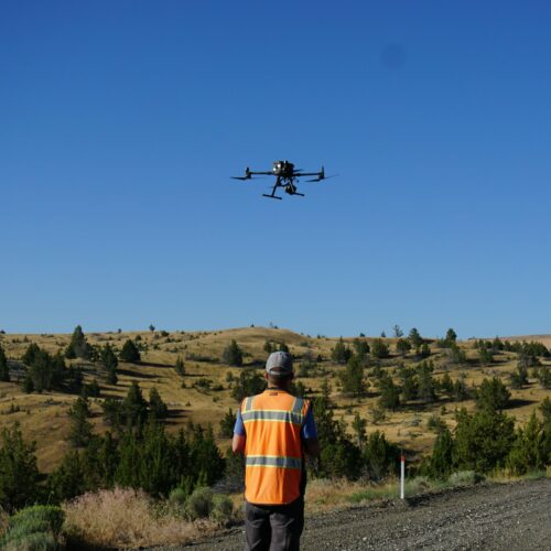
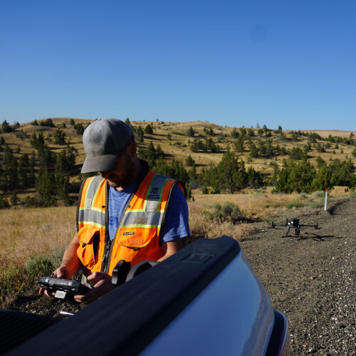
PBS’ new lidar drone allows our team to map client project sites aerially. This complements our aerial photogrammetry services by providing improved topographic mapping in vegetated areas.
To date, PBS has mapped over 15 projects with our new lidar drone including:
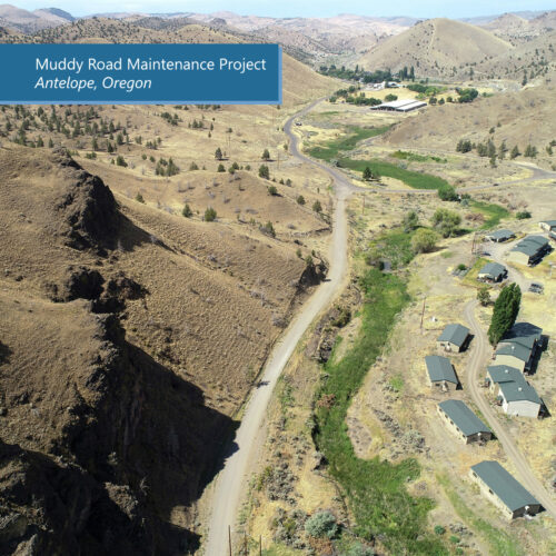
- Muddy Road Maintenance Project, Antelope, Oregon – an 11-mile redesign in difficult terrain, including slope hazard assessment.
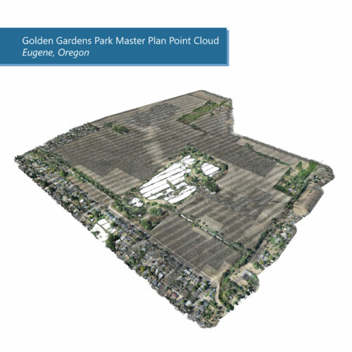
- Golden Gardens Park Master Plan, Eugene, Oregon – PBS is part of a team developing the overall Master Plan for this 223-acre park including a phasing plan and a materials refinement plan. The long-term vision for the plan consists of an athletic field complex, multiple ballfields, a boardwalk, dog park, wildlife viewing areas, trails, parking, restrooms, and a welcome center.
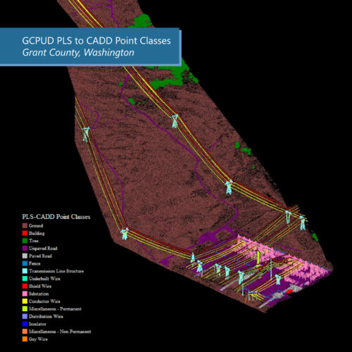
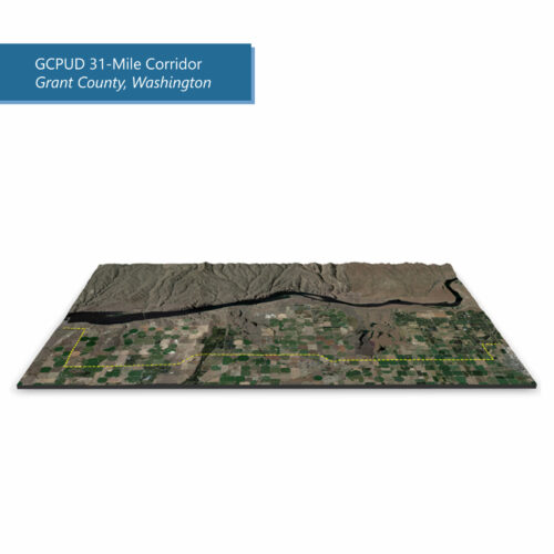
- Grant County Power Utility District, Washington – a 31-mile corridor for a new transmission line. Our Unmanned Aircraft Systems program continues to grow and stay up-to-date on upgraded photogrammetry sensors as well.
Learn more about our UAS capabilities, or contact our offices to get started.